

Suhail Khan
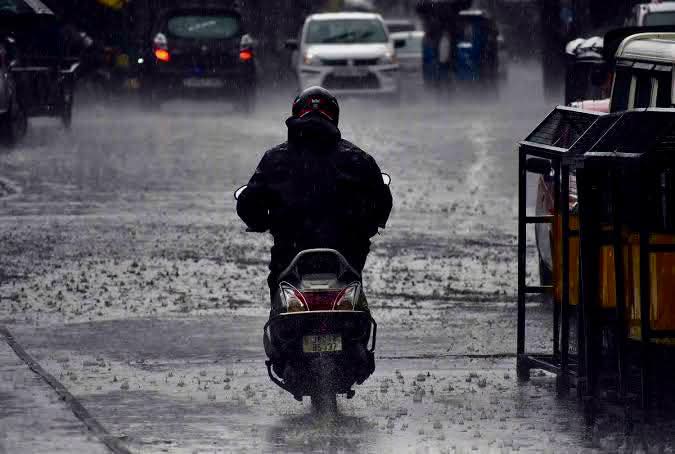
Srinagar, July 22: Jammu and Kashmir remained in the grip of an unprecedented wet spell for the fourth straight day on Wednesday, with maximum temperatures plummeting to as much as 10.4 degrees below normal across the Valley, even as the weatherman warned of flash floods and landslides in the next 24 to 48 hours.
In what is being described as a rare meteorological phenomenon, the base camp town of Katra—the gateway to the Vaishno Devi shrine—recorded its lowest-ever July maximum temperature at 22.6°C, a staggering 8.1 degrees below the seasonal average. Even more remarkable, weather observers noted, was the exceptionally narrow temperature range, with the minimum settling at 21.0°C—just 1.6 degrees lower than the day’s high—indicating that persistent cloud cover and relentless rainfall had virtually arrested the normal diurnal variation.
Independent weather forecaster Faizan Altaf told Kashmir Convener that Srinagar recorded a maximum of 20.0°C, a sharp 9.9 degrees below normal, while Kupwara logged 20.2°C—an even steeper departure of 10.4°C. Pahalgam settled at 17.6°C (7.8°C below normal), Gulmarg at 14.5°C (6.3°C BN), and Qazigund at 19.5°C (8.6°C BN). Sonamarg recorded 16.4°C, while the holy Amarnath Cave shivered at 11.1°C.
Other stations across the Valley remained similarly subdued, with Ganderbal at 20.3°C, Bandipora and Baramulla at 20.2°C and 19.8°C respectively, Budgam at 19.9°C, Kulgam at 19.7°C, Pulwama at 21.9°C, and Shopian at 17.9°C.
In the Jammu region, the winter capital recorded 24.8°C—8.7 degrees below normal—while Banihal logged 19.0°C (9.4°C BN), Bhaderwah 20.2°C (9.5°C BN), and Batote 19.8°C (6.6°C BN). Kathua recorded the highest at 26.9°C, followed by Samba at 26.3°C and Reasi at 25.2°C. In Ladakh, Leh settled at 20.5°C, Kargil at 23.3°C, and Nubra Valley at 22.5°C.
The India Meteorological Department said moderate to heavy rain continued at many places across the Union Territory through the day.
Dr. Mukhtar Ahmad, Director of MeT Department, Srinagar, told Kashmir Convener that another spell of rain and thundershowers—accompanied by heavy falls and brief intense showers—is expected during the early morning and forenoon on Thursday. From July 24 to 29, he added, light to moderate rain is likely at scattered places with isolated intense spells.
In a strong advisory, the MeT Department warned of the possibility of flash floods, landslides, mudslides, a rise in water levels in rivers and local streams, and waterlogging in low-lying areas over the next 48 hours. Authorities have urged people to remain alert and follow official advisories as the weather system continues to hold sway over the region.
Comments are closed.