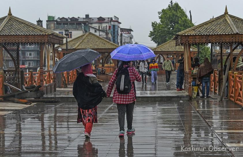
Srinagar, Mar 18: A fresh western disturbance active over the region brought back a sharp winter chill to the Kashmir Valley on Wednesday, as rain lashed the plains and higher reaches received fresh snowfall, disrupting normal life and pushing temperatures several degrees below normal.
Officials informed Kashmir Convener, intermittent rainfall occurred in Srinagar and most other parts of the Valley, while the popular tourist destinations of Gulmarg and Sonamarg, along with the Pir Ki Gali pass on the Mughal Road, experienced fresh snowfall.
The sudden weather change follows a relatively dry and warmer spell earlier this month.
An senior official at Meteorological (MeT) department told Kashmir Convener that the active western disturbance has resulted in widespread cloud cover, persistent precipitation, and gusty winds, creating conditions reminiscent of peak winter.
“The weather will remain generally unstable until March 20, with intermittent rain or snow at many places, particularly during the evening and night,” the official said.
The MeT department has warned of thunder, gusty winds reaching 40-50 kmph, and isolated hailstorms in some areas during this period. Authorities have advised travellers to exercise caution in mountainous areas and along key routes, where fresh snowfall could lead to slippery conditions.
The precipitation has caused a significant drop in daytime temperatures. Officials reported that most stations across the Valley recorded below-normal maximums. While the cloud cover has led to colder days, it has resulted in relatively warmer nights.
In view of the unstable weather, the MeT department has advised farmers to suspend agricultural operations until March 20. However, the rainfall and snow have been termed beneficial for the farming community, as they replenish soil moisture after a prolonged dry spell.
A senior MeT official said that while light to moderate rain and snow will continue, some parts of the Chenab Valley and south Kashmir may witness moderate to heavy precipitation.
“The weather is expected to gradually improve from the afternoon of March 20. Dry conditions are likely to prevail from March 21 to 24, though skies may remain partly cloudy,” the official added.
He further stated that another spell of rain and snow is likely between March 26 and 28.
Clarifying the forecast for Eid, which is expected to be celebrated on March 31 or April 1 depending on the moon sighting, the official said that weather is likely to remain mostly dry, with only a slight chance of very light rain in the late afternoon.
Independent weather data compiled from various sources revealed the extent of the temperature drop.
In the Kashmir region, most places recorded maximum temperatures significantly below normal. Srinagar, the summer capital of Jammu and Kashmir, registered a maximum of 8.4°C, which is 7.6 degrees below the seasonal average.
The famous hill station of Gulmarg recorded a low maximum of just 1.0°C.
In the Jammu region, the city of Jammu recorded a maximum of 20.2°C, which is 7.3 degrees below normal, while Banihal town recorded a maximum of 9.5°C, a staggering 8.7 degrees below normal for this time of the year.
In the cold desert region of Ladakh, Leh and Kargil recorded maximum temperatures of 7.1°C and 5.7°C, respectively.
Comments are closed.